What the Flood! Intro to FEMA flood Maps and Elevation Certificates
Released Monday, 13th July 2015
What the Flood! Intro to FEMA flood Maps and Elevation Certificates
What the Flood! Intro to FEMA flood Maps and Elevation Certificates
Monday, 13th July 2015

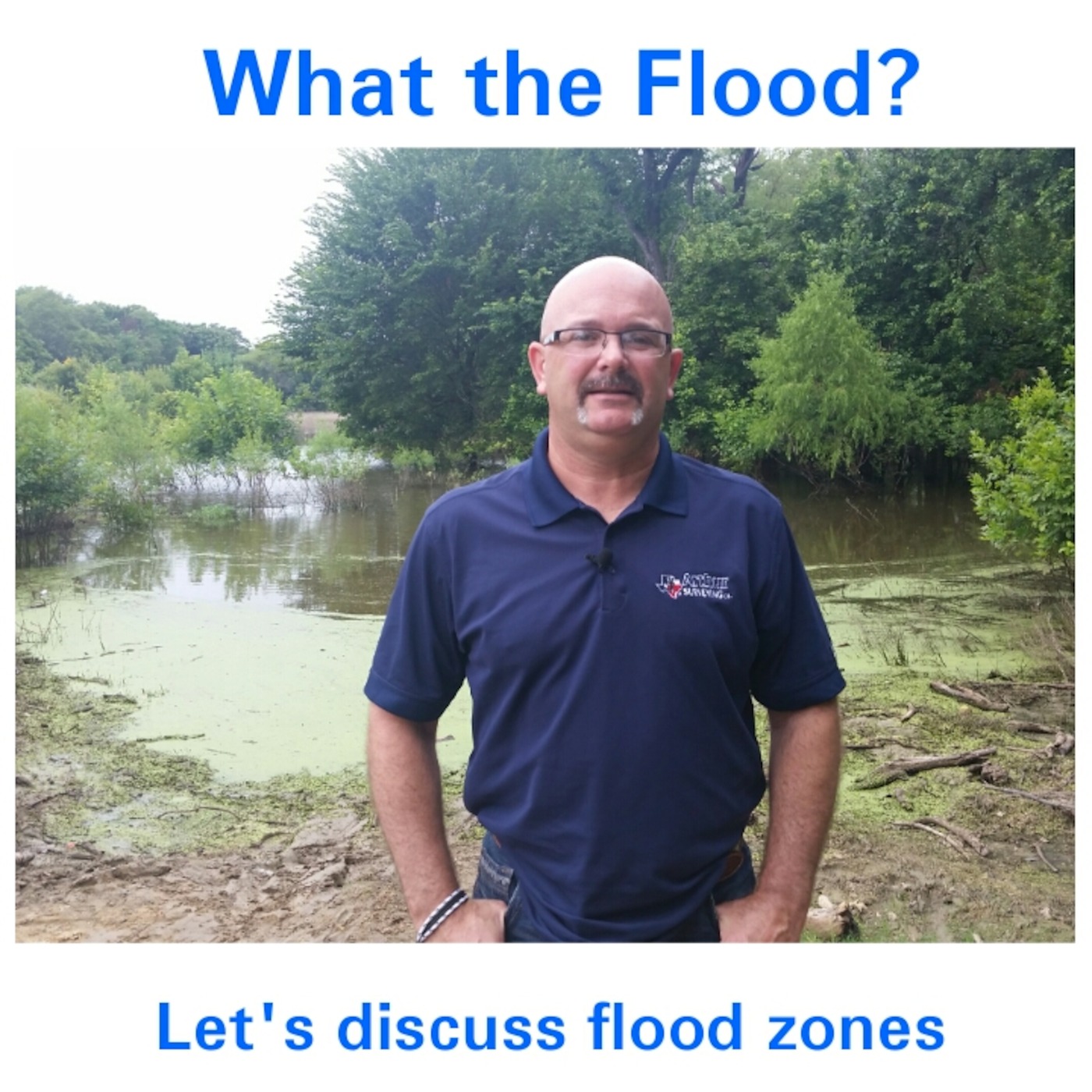
Listen in to what Matt Kern with Arthur Surveying Company has to say about the 100 year flood areas in North Texas. The main 100 Year flood zones are Zone A and Zone AE. Zone A has not been studied and the “BFE” Base Flood Elevation has not been determined.Zone AE has been studied and the BFE has been determined. This matters when it comes to completing the information within the Elevation Certificate that is required by your FHA lender and the insurance company when a property may have flood areas. Also, what is a “ LOMA “ Letter of Map Amendment and how can it help home owners?Matt Kern teaches a TREC MCE class to real estate agents called Intro to FEMA Flood Maps and Elevation Certificates. Check with your local title company or lender to see if they have scheduled his class.Contact Matt Kern at 469-600-9066
Show More
- Podcasts
- Best Podcasts
- New Podcasts
- Podcast Charts
- Best Episodes
- Add a Podcast
- Claim a Podcast
- Podchaser 25
- Features
- Podcast Credits
- Podcast Networks
- Podcast Lists
- Podcast Monitoring
- Podcast Sponsors
- Podcast Contacts
- Community
- Account
- Register
- Log In
- Find Friends
- Resources
- Help Center
- Newsletter
- Blog
- API
Podchaser is the ultimate destination for podcast data, search, and discovery. Learn More
- © 2025 Podchaser, Inc.
- Privacy Policy
- Terms of Service
- Contact Us